
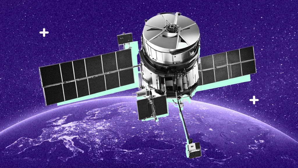

With less power than it takes to illuminate a 60-watt lightbulb, a signal from a satellite in space makes it possible for people and industries around the world to determine their precise locations.
From complex logistics networks and transportation to navigation, nearly every critical industry relies on the Global Navigation Satellite System (GNSS), a collective term for Global Positioning Systems (GPS) and other satellite navigation systems. Most of us carry a GNSS receiver everywhere we go. The technology is embedded in our smartwatches, mobile devices and cameras. Billions of people rely on GNSS daily, yet few stop to think about how reliant we’ve become on this seemingly invisible technology and how it works.
GPS, the first fully operational satellite constellation system, consists of 31 satellites owned by the U.S. that travel in a 12-hour, circular orbit 20,200 kilometers above Earth. Each satellite is equipped with a precise atomic clock and constantly broadcasts signals containing the satellite’s location and the exact time the signal was transmitted. A GNSS receiver, like the one on your smartphone, picks up these signals. Because the receiver needs signals from at least four satellites to determine its position, at least six satellites in the GPS constellation are observable from almost any point on Earth 100 percent of the time.
CRITICAL TO INDUSTRIES WORLDWIDE
GNSS technology has become indispensable across industries, shaping the way we live and work. While many of us rely on GNSS daily to find the best routes and avoid traffic, its applications extend far beyond personal convenience, driving efficiency, safety, and innovation in critical sectors worldwide.
GNSS enables precision agriculture, helping farmers place seeds, steer machinery and apply fertilizer, herbicides, and pesticides with pinpoint accuracy. This reduces waste, conserves water, and minimizes environmental impact. Similarly, GNSS powers real-time vehicle tracking for route optimization and fuel efficiency in transportation. After Baltimore, Maryland’s Francis Scott Key Bridge collapsed, GNSS helped reroute trucks efficiently, minimizing delays and ensuring safety.
Construction also benefits from GNSS. Surveyors use it to measure and map terrain, while contractors rely on it to accurately lay out job sites. GNSS guides heavy machinery, such as excavators, to improve safety, reduce material waste, and streamline complex operations.
Autonomous vehicles also depend heavily on GNSS. Paired with the Internet of Things (IoT), GNSS ensures vehicle safety, connectivity, and advanced capabilities. For example, Waymo One, a commercial autonomous ride-hailing service, leverages GPS data with sensors, cameras, and artificial intelligence to navigate roads without human intervention.
Additionally, GNSS plays a vital role in maintaining critical infrastructure. Sensors on bridges and dams utilize GNSS to monitor shifts, such as settling or displacement, that could indicate potential structural issues, enabling timely interventions and ensuring public safety.
From farming and construction to transportation and infrastructure monitoring, GNSS has become a backbone of modern industry, revolutionizing processes and delivering solutions that enhance safety, efficiency, and sustainability.
SAFEGUARDING GNSS
The many applications of GNSS illustrate just how pervasive and indispensable it has become. Beyond the conveniences it offers, GNSS drives the global economy. Losing it could disrupt everything from personal travel to international trade at an estimated cost of $1 billion per day.
GNSS can be affected by various factors, such as ionospheric disturbances, obstructed signals, and intentional interference. Signals traveling through the dynamic ionosphere can be distorted by changing solar activity, particularly during the 11-year solar cycle, when peaks in solar activity increase disruptions. Spoofing and jamming, in which fake signals or interference block or mislead receivers, pose additional risks to safety and critical infrastructure.
The development of innovative solutions counter these challenges and safeguard GNSS reliability. Advanced technologies, such as predictive models for ionospheric conditions, enable more accurate forecasting and signal correction. Anti-spoofing and anti-jamming systems leveraging encryption and signal authentication protect against interference. In addition, multi-GNSS integration combines signals from multiple constellations, enhancing resilience and accuracy.
These advancements are vital for mitigating potential disruptions and supporting economic stability worldwide.
THE FUTURE OF GNSS
As reliance on precise positioning grows, technological innovations pave the way for seamless, accurate, and reliable navigation, even in the most challenging environments.
Medium-earth orbit (MEO) satellites, the traditional backbone of GNSS, provide global coverage and long-term stability. However, they face limitations, particularly in urban areas or dense forests where signals can weaken due to obstructions or interference. These challenges have accelerated the adoption of Low-Earth Orbit (LEO) satellites, which operate at lower altitudes. LEO satellites deliver stronger signals, reduced latency, and enhanced performance in environments where traditional GNSS struggles, though they do not suffice for indoor navigation on their own.
A hybrid solution that integrates multiple technologies is necessary to achieve truly ubiquitous positioning. The combination of GNSS, Inertial Measurement Units (IMUs), imaging technologies, and the Internet of Things (IoT) will transform positioning into a continuous and dependable service. IMUs, capable of determining an object’s position, orientation, and velocity, will seamlessly take over when GNSS signals are weak or lost. Imaging technology enhances situational awareness by identifying landmarks, such as buildings and sidewalks, to refine positioning. IoT sensors will further extend connectivity, enabling data sharing and improving overall accuracy. Together, these technologies will create a resilient and adaptable positioning system capable of functioning in environments traditionally inaccessible to GNSS alone.
Artificial intelligence (AI) also plays a pivotal role in improving GNSS accuracy and supporting this hybrid approach. By processing GNSS signals with advanced noise-filtering techniques, AI ensures greater precision in signal interpretation. It also uses atmospheric models to predict and adapt to ionospheric changes in real time to minimize disruptions. Furthermore, AI optimizes the collaboration between technologies like IMUs, imaging systems, and IoT, ensuring seamless transitions and improved reliability in dynamic environments.
The impact of these advancements will be far-reaching as the development of GNSS continues. GNSS has cemented its role as an indispensable technology for consumers and industries worldwide. With each innovation, we’re closer to a future where accurate positioning is reliable from anywhere, at any time. The next time you use your smartphone for navigation, perhaps you’ll marvel at how a tiny signal from space made it possible.